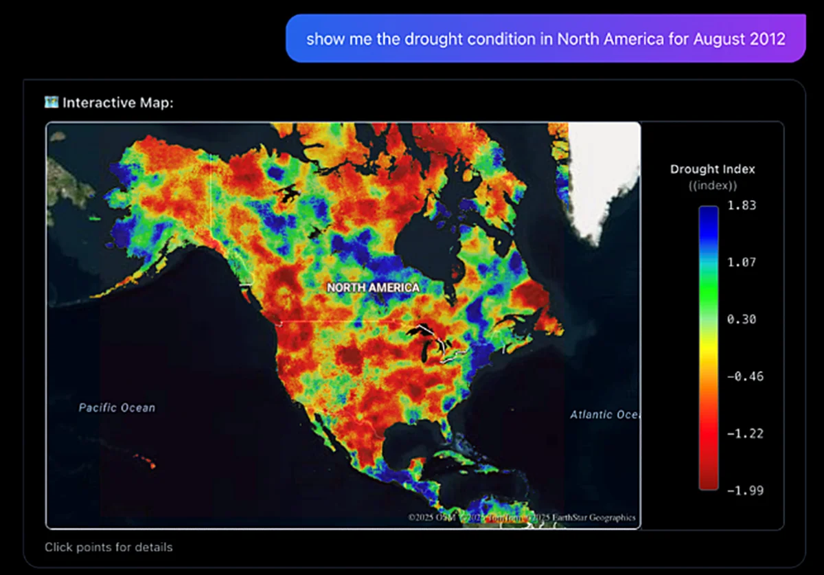

Hydrology Copilot, a collaboration between Microsoft and NASA, aims to enhance the accessibility of crucial hydrological data, particularly in light of increasing flooding and extreme weather events. This innovative platform is designed to enable users to analyze complex hydrological information through simple queries, effectively transforming data into interactive, color-coded maps.
Built upon the existing framework of NASA Earth Copilot, this AI-driven tool harnesses the computational power of Microsoft Azure OpenAI Service and Microsoft Foundry. Users can pose straightforward questions regarding flood risks, such as, “Which regions may be facing elevated flood risk?” and receive actionable insights.
The platform utilizes the North American Land Data Assimilation System Version 3, a sophisticated dataset that merges satellite data with computer models for a dynamic overview of the water cycle. By simplifying data access, Hydrology Copilot supports various sectors, including agriculture, urban development, and emergency preparedness, particularly in response to recent flood events in Western Washington.